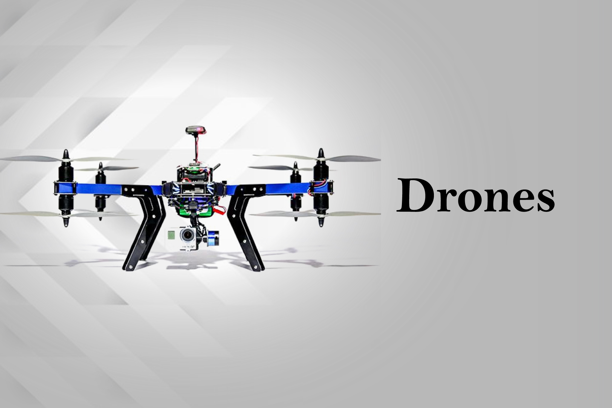
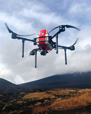
What We Do
Services We Offer
We Provide Drone Solutions For World’s Multinational Companies.
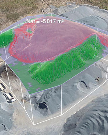
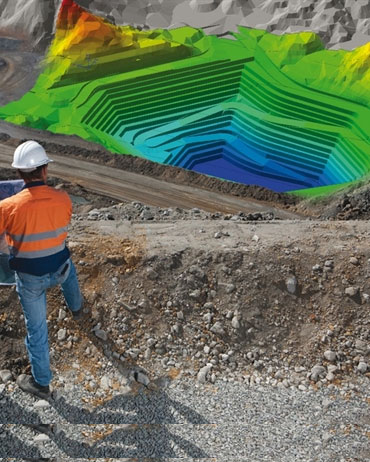
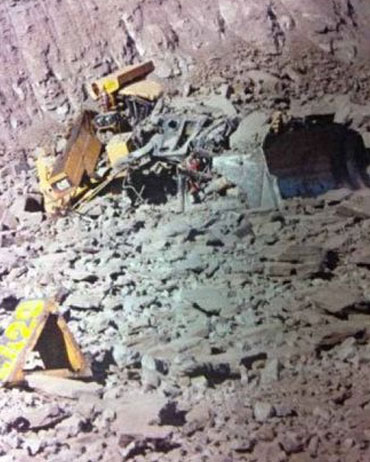
Mining

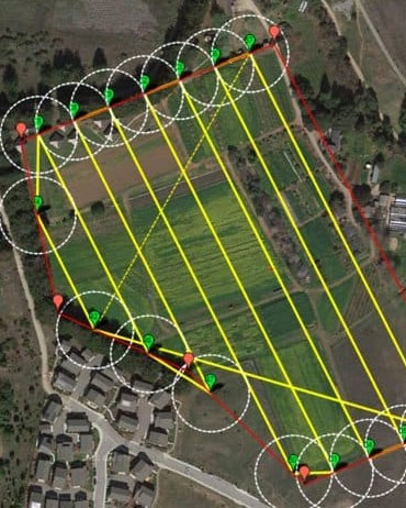
Urban development
Construction Industry

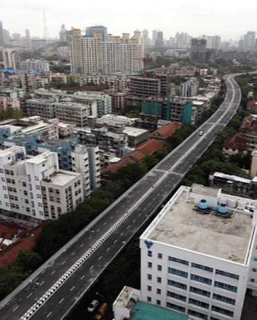
Roads and Railways